Where field physics meets cloud computation — GIS Labs combines sub-centimeter DGPS precision, drone photogrammetry, BIM and enterprise software engineering to deliver end-to-end geospatial intelligence.
We don't just fly drones — we operate Total Stations and Differential GPS in the field and process terabytes of point cloud data in the cloud. This end-to-end mastery delivers results no software-only firm can match.
TS · DGPS · LiDAREvery project is governed by rigorous scientific methodology. Our horizontal and vertical accuracies consistently achieve sub-centimeter thresholds validated against ground control points and post-processed kinematic surveys.
ISO Compliant · QA/QC VerifiedFrom surveying a single plot to building a citywide GIS dashboard — we handle the entire pipeline: data capture, processing, modeling, application development, and operator training. One team, zero silos.
Capture → Model → DeployOur client roster spans national infrastructure agencies, urban planning departments, and private engineering firms. We understand regulatory frameworks, statutory datums, and public-sector delivery standards.
Public · Private · NGO// TRUSTED BY
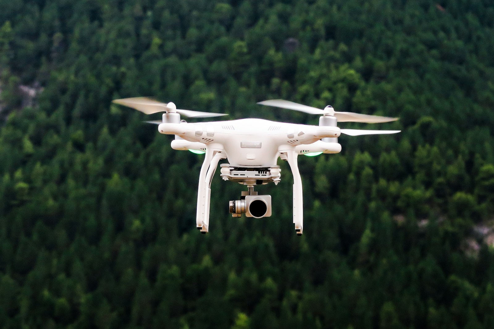
Fixed-wing and multirotor UAVs equipped with RTK GNSS for real-time centimeter-accurate georeferencing and LiDAR payload capability.
Dual-frequency DGPS receivers operating on GPS, GLONASS, and Galileo constellations. Post-processed kinematic baselines extending 50+ km.
Robotic total stations with automated target recognition, enabling one-person operations for traverse surveys, detail surveys, and setting-out work.
Large-scale contour mapping and land-use classification for infrastructure planning, watershed management, and cadastral updates. Deliverables include AutoCAD DWG, GeoTIFF DEM, and annotated PDF maps.
High-resolution orthomosaics (2–5cm GSD) and photogrammetric 3D terrain models from drone imagery. Suitable for volume calculations, change detection, and urban as-built mapping.
Bathymetric data collection for rivers, lakes, and coastal zones using single-beam and multi-beam echo sounders. Integration with GNSS for precise depth-position georeferencing.
Mobile and airborne LiDAR data acquisition producing dense point clouds for corridor mapping, vegetation analysis, and high-fidelity structural documentation.
We transform raw point clouds and drone data into intelligent, federated BIM models — creating living digital twins that serve design, construction, operations, and facility management teams throughout an asset's lifecycle.
Our Scan-to-BIM workflow ingests LiDAR or photogrammetric data and produces LOD 300–500 models in Revit, ArchiCAD, and IFC formats, fully compliant with PAS 1192 and ISO 19650.
Converting LiDAR point clouds and photogrammetric meshes into parametric Revit and ArchiCAD models. Structural, architectural, MEP deliverables at LOD 200–500. Ideal for heritage documentation and existing-condition capture.
Multi-discipline model federation in Autodesk Navisworks and BIM 360. Automated hard, soft, and clearance clash identification before groundbreaking — saving costly site rework and schedule delays.
Verified as-constructed digital records for facility management, handover documentation, and lifecycle asset tracking. Deviations from design intent are flagged and quantified with spatial precision.
Web-based interactive maps for real-time infrastructure asset tracking, utility network management, and field operations monitoring. Powered by ArcGIS API and OpenLayers with live data feeds.
Public health mapping platforms, urban planning tools, and community welfare applications — translating geospatial intelligence into direct societal impact. Deployed for municipal and NGO clients across the region.
Machine learning pipelines for land-use classification, change detection, and predictive infrastructure risk modeling. Python-powered ETL connecting field data to decision-maker dashboards.
Offline-capable mobile applications built on QGIS Mobile and custom React Native frameworks, enabling accurate georeferenced field surveys without network dependency.
A comprehensive foundation covering coordinate systems, data models, spatial analysis, and satellite imagery interpretation. Hands-on QGIS and ArcGIS labs included.
From DGCA regulations to photogrammetric post-processing — master the full UAV survey workflow including mission planning, flight execution, and Metashape/Pix4D processing.
A professional workflow course covering Scan-to-BIM in Revit, clash detection using Navisworks, and ISO 19650 project delivery. Ideal for design and construction professionals.
Cities are generating more geospatial data than ever before, but translating raw LiDAR acquisitions into planning-grade intelligence requires more than processing power — it demands a scientific framework. We examine how mobile LiDAR corridor surveys are replacing traditional total station traverses for road network inventory, and how the resulting 3D city models are reshaping master-plan reviews.
Read Case Study →The SVAMITVA scheme has demonstrated that drone-based cadastral surveys can map a village in hours. We break down the workflow, accuracy benchmarks, and lessons from 200+ villages.
Read →A retrospective analysis of three infrastructure projects where Scan-to-BIM prevented over ₹2 crore in rework costs through early clash detection and accurate as-built records.
Read →Synthetic Aperture Radar offers a cloud-penetrating eye for tracking volumetric sediment changes in irrigation reservoirs — without a single field visit. Our methodology and results from three seasons of data.
Read →